Every building, every piece of land has a story to tell. Sometimes, these stories are hidden beneath the surface, waiting to be discovered. This is a tale of how technology and expertise came together to unravel one such subterranean mystery.
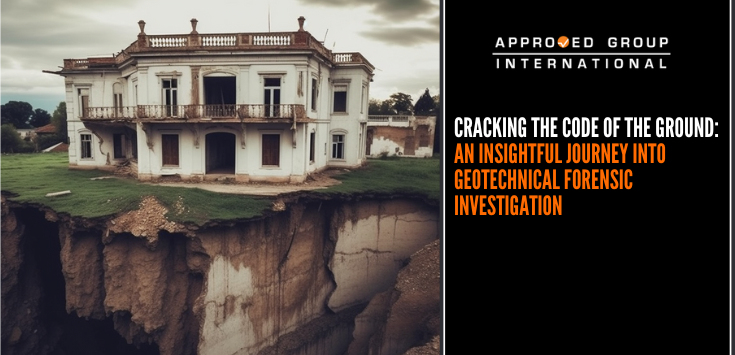
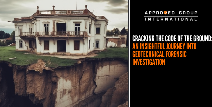
Imagine a home, a sanctuary, suddenly disrupted by unexplained water seepage and ground subsidence. It’s a puzzle that demands a solution, a riddle that requires a keen eye and a discerning mind. Enter the world of civil and geotechnical forensics, where we decode the language of the earth and uncover the truth hidden beneath the surface.
Our journey begins with a tool known as a total station. This electronic/optical instrument is a marvel of modern engineering, equipped with an electronic theodolite, an electronic distance measurement device, a microprocessor, and an electronic display. It serves as our compass, guiding us through the intricate landscape of the site, allowing us to measure and record its dimensions with pinpoint accuracy.
But our investigation doesn’t stop there. We delve deeper, employing laser level measurement technology to shed light on the extent and nature of the subsidence. With this finely tuned instrument, we measure the level of various points within the property, gathering crucial data to aid our analysis.
To gain a comprehensive view, we take to the skies, utilizing a drone for facade photogrammetry. High-resolution images of the property’s exterior are captured, forming the basis for a detailed 3D model. This model provides us with an invaluable visual understanding of the structural issues at hand.
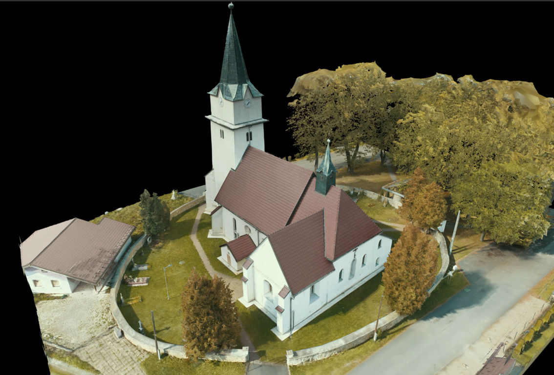
In the world of geotechnical forensic investigation, technology is a powerful ally. However, it is the expertise and experience of our forensic consultants that truly unlock the secrets hidden within the data. They meticulously interpret the information, piecing together the clues to form accurate conclusions.
As we analysed the site, historical Google Earth imageries revealed a pattern of progressive failures in the slope after 2015. Sinkholes, ‘piping’ holes, clogged up weep holes, linear fracture zones, and water trickling from the soil and retaining wall all contributed to our understanding of the landscape in flux, impacted by water and ground movement.
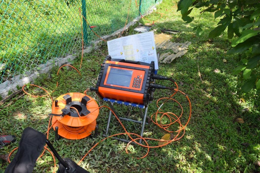
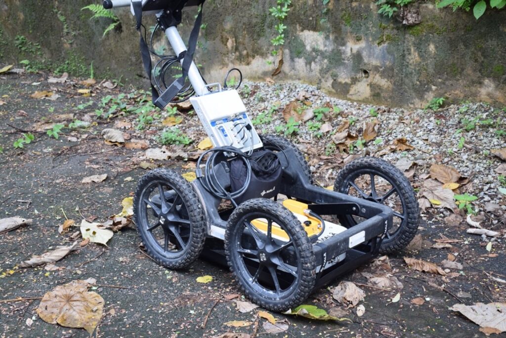
To further investigate, we employed a Resistivity Survey to map the distribution profile of groundwater beneath the sub-surface. This survey revealed multiple pathways for the groundwater to flow, including one beneath the affected premises. Additionally, a Ground Penetrating Radar (GPR) survey helped us detect any buried pipes that might be the source of the water. Our findings confirmed that the water seepage was caused by ground movement and a high groundwater table, ruling out any leaked pipes.
The revelation of this conclusion provided clarity and direction for the next steps. It is a testament to the power of civil and geotechnical forensics, which go beyond problem-solving and seek to uncover the truth buried within the earth. Insurers, reinsurers, loss adjusters, brokers, and anyone intrigued by the intricate dance of nature and infrastructure can find insight and inspiration in this world.
Ultimately, it is not just about the buildings we stand in but the ground we stand on. It is a story of discovery, understanding, and respect for the forces that shape our world. And this story is ongoing, as we continue to explore, decode, and unravel the mysteries hidden beneath our feet.

